How Does ArcGIS Benefit Our Projects?
What is ArcGIS?
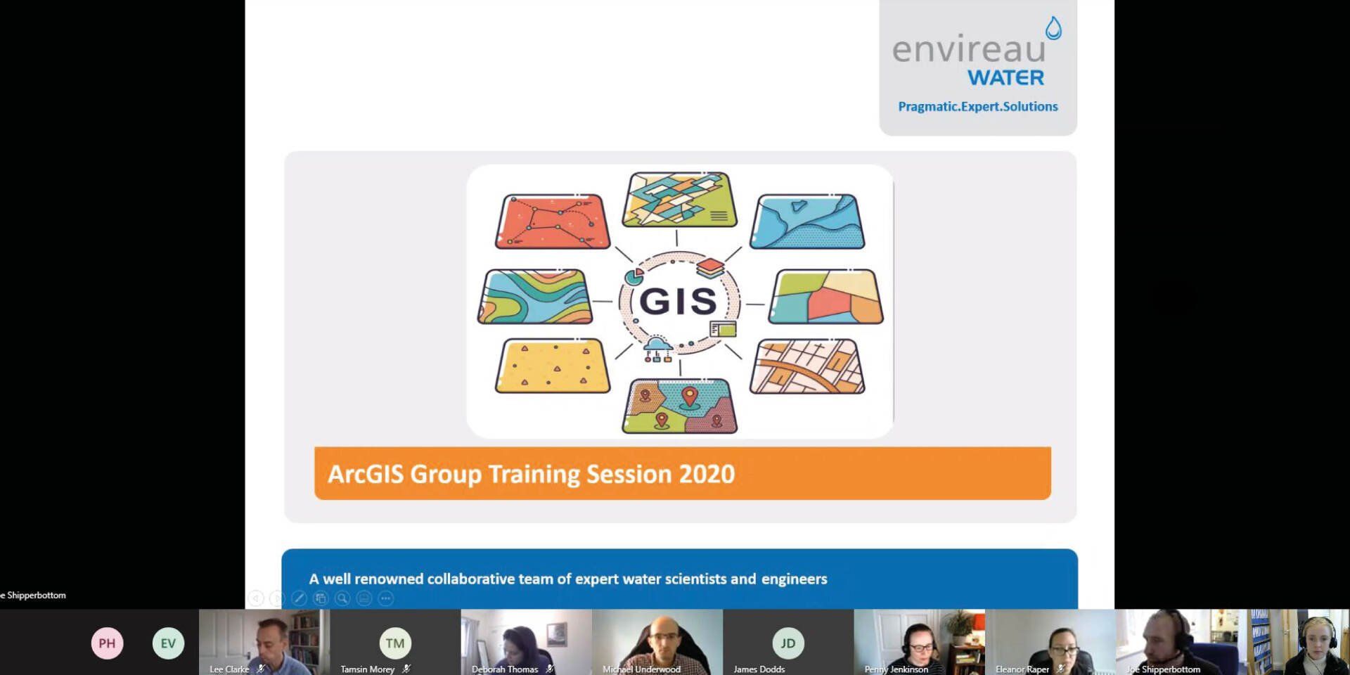
ArcGIS is an innovative scientific software programme, used to gather, analyse and present geographical data effectively and clearly. At Envireau Water, we have a dedicated team of GIS specialists who keep up to date with the latest GIS developments, ensuring our use of the software offers the maximum benefit to us and most importantly – our clients.
GIS Group
Our dedicated GIS group meet monthly to discuss any new GIS advancements and how we can use these to our advantage. The GIS Group disseminates knowledge through our technical team, allowing us to maintain consistency, and produce consistently high-quality results for our clients.
Last year we saw the introduction of the Collector App, and this year, the replacement of existing field tablets to accommodate these new capabilities.
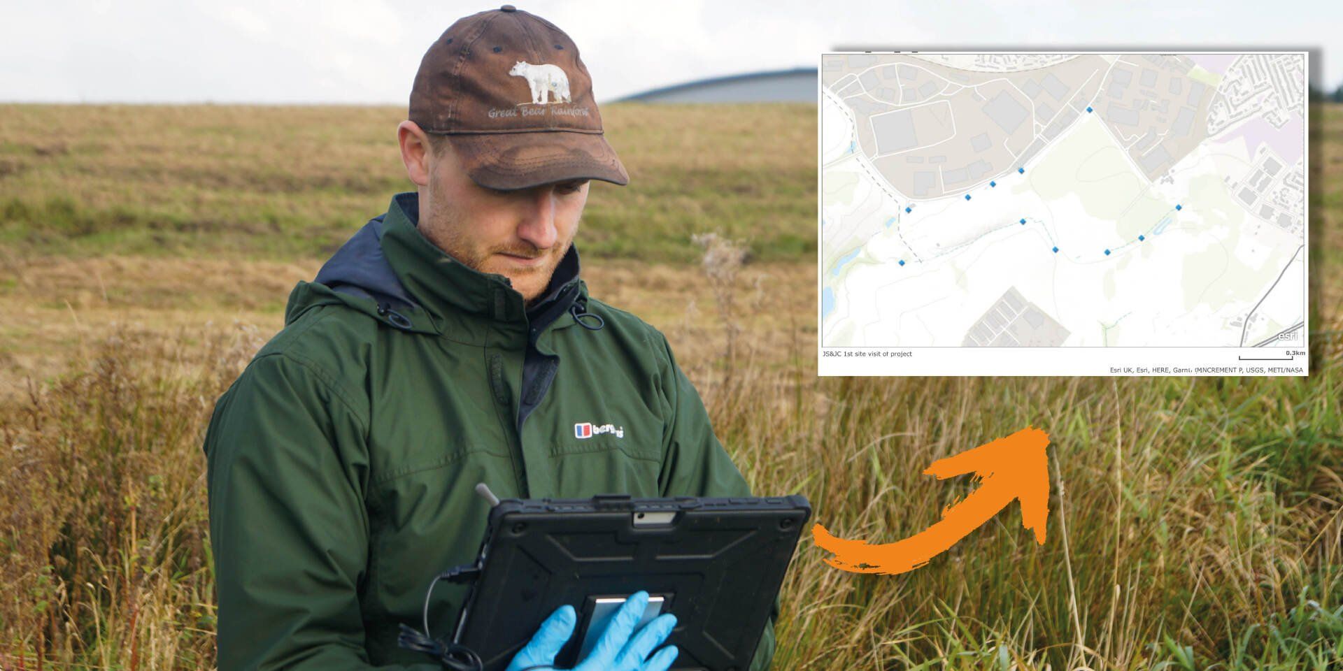
Collector App
The Collector App allows us to collect data efficiently in the field, in real time. It effectively replaces having to process handwritten notes, photographs and other data back in the office. It has many applications and is particularly relevant for carrying out Water Feature Surveys to support new borehole developments or assessing hydrological features to assess flood risk and develop drainage solution. Put simply, the Collector App saves us time, and our clients' money.
How has the Collector App recently helped a project?
During a recent field survey, the Collector App allowed us to quickly collate water level data from 25 boreholes, stage and flow data from 5 streams and springs, plus a number of historic mine shafts. The data was processed in the field, saving around 4 hours post-processing time. The high quality GIS output meant minimal time was required to present the data in a suitable format, providing further savings, allowing our client to quickly and confidently demonstrate regulatory compliance.
What’s coming…
More of the same! 2021 will be the year our GIS software becomes fully cloud based, allowing us to access new software features and continue providing our clients with innovative and up to date technology, with no compromise on quality.
To find out how ArcGIS could be implemented into your project, get in touch at
info@envireauwater.co.uk or give us a call on
01332 871 882.